
Jane Crosen
A self-taught mapmaker, Jane Crosen of Penobscot has spent four decades making and interpreting maps, and exploring Maine’s landscape.
Jane Crosen found her niche in maps and editing working at DeLorme Publishing in Yarmouth, where she compiled the Gazetteer listings for the all-new 1981 edition of the Maine Atlas and began discovering the natural and historic treasures of her home state. Returning to her roots in Downeast Maine, she moved to the Blue Hill Peninsula where she found further opportunities to explore and grow as an editor, working for WoodenBoat and other publishers. Meanwhile her affinity with maps, Maine, and design inspired her to create a series of hand-drawn maps of Maine coast and lake regions. Along the way she began sharing her passion for map-reading and landscape interpretation through “map-sleuthing” slide talks and workshops.
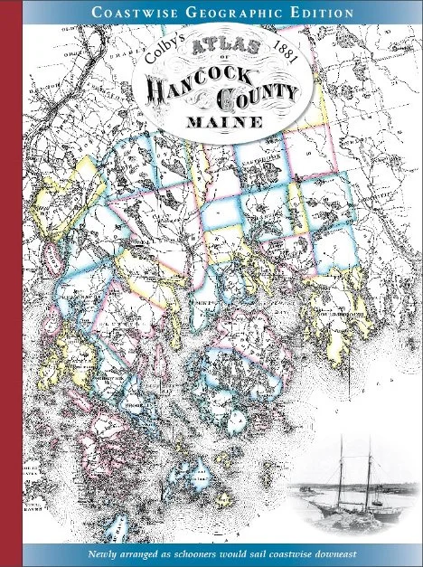
With a growing interest in Downeast Maine’s mapping history and heritage landscape, she discovered George N. Colby’s historic 1881 atlases of Hancock and Washington counties and found them a fascinating source. Since the original and facsimile editions were out of print, she decided to publish new editions of both atlases, arranging the maps in a more geographically consistent layout. Pairing Colby’s archival maps with period photos and excerpts, with an introduction and captions for context, her Coastwise Geographic Edition atlases capture Downeast Maine in the age of sail, in the last glow of a 19th-century coastal economy. For more about Crosen’s work and product line, visit mainemapmaker.com.